Hiking
You cannot visit Lake Tahoe without exploring the areas around it. The best way to do this is by hiking one of the over 330 trails that surround the lake. Novice hikers will enjoy many of these trails. Please enjoy a photographic journey of three of my favorite trails.
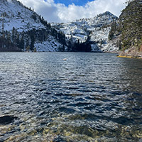
Eagle Lake
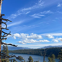
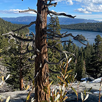
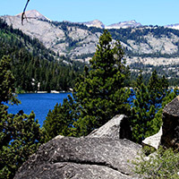
If you’re looking for beauty, then hiking to Eagle Lake might fit the bill. The hike is a moderately challenging one, covering 1.8 miles there and back, which makes it a wonderful hike if you are looking for a place to enjoy a midday picnic. Keep in mind that this hike does go into the Desolation Wilderness, so you will need to pick up a permit. Thankfully, this can be done right at the trailhead. Be sure to bring your camera as you will not want to miss out on photographing the breathtaking sights along the hike.
Getting There
Starting in South Lake Tahoe, take Highway 89 8 miles north towards Emerald Bay. Park in the Eagle Falls picnic area or along the road. There is a $5 fee for parking in the picnic area.
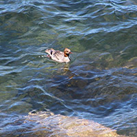
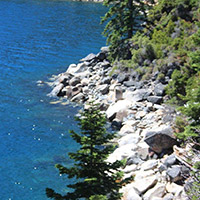
Photos of What You’ll Experience
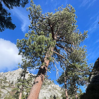
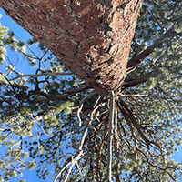
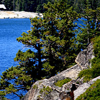
Rubicon Trail
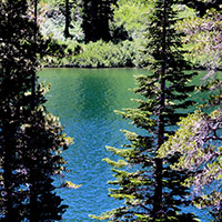
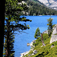
The Rubicon Trail is a moderate hiking trail that will take you along the shore of Lake Tahoe. While the whole trail is 16.4 miles, the portion between DL Bliss State Park and Emerald Bay State Park is worth the hike! This portion is 4 ½ miles one way, making it a hike you will want to start early, so that you have plenty of time to make the journey back to where you left your car.
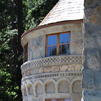
The trail is well maintained, and the views of the lake are spectacular. Best of all, is the fact that you will hike along the edge of Emerald Bay, and can take the time to visit Vikingsholm, a beautiful estate built in 1928. Bring your swimsuit for when you visit the estate, you will find a well-maintained public beach where you can relax before making the journey back to your car.
Getting There
Starting in South Lake Tahoe, take Highway 89 10 miles north to D.L. Bliss State Park. There is a fee for parking, but you might be able to find parking along the side of Highway 89.
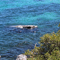
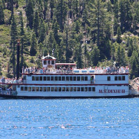
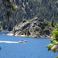
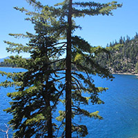
Photos of What You’ll Experience
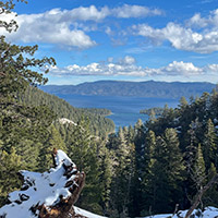
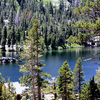
Echo Lakes
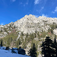
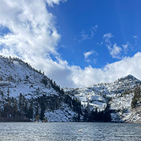
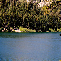
At the top of Echo Summit, are two lakes that provide wonderful mountain views while you hike a moderately challenging 2-hour hike. The 5 mile out and back hike takes you around the north side of both lakes. While the hike itself is not challenging, the fact that you are at an elevation of above 7,400’ and on a trail that tends to be uneven and rocky can prove to be a little challenging for novice hikers.
You can swim in designated areas, so bring your swimsuit, and do not forget your camera. You’ll be traveling along part of the Pacific Crest Trail and will want to photograph many of the Desolation Wilderness peaks. If you are too tired to make the journey back, there is a water taxi back to the start of the trailhead.
Getting There
Take Highway 50 to Echo Summit and turn onto Johnson Pass Road. Stay left and the road will take you to a parking lot by Lower Echo Lake.
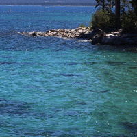
Photos of What You’ll Experience